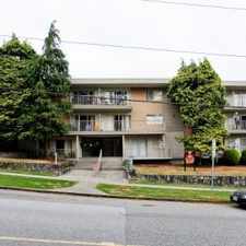
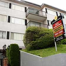
154 Street
Most errands can be accomplished on foot.
Many nearby public transportation options.
Flat as a pancake, some bike lanes.
About your score
154 Street has a Walk Score of 85 out of 100. This location is Very Walkable so most errands can be accomplished on foot.
This location is in Surrey. Nearby parks include Lionel Courchene Park, Briarwood Park and Johnston Heights Park.
Explore how far you can travel by car, bus, bike and foot from 154 Street.
154 Street has good transit which means many nearby public transportation options.
Bus lines:
320 LANGLEY/FLEETWOOD/SURREY CTRL STN
0.3 km
375 WHITE ROCK/WHITE ROCK STH/GUILDFORD
0.3 km
326 GUILDFORD/SURREY CENTRAL STN
0.5 km
335 NEWTON/SURREY CENTRAL STN
0.5 km
View all Surrey apartments on a map.

Popular apartment searches include fireplace, hardwood floor and furnished.
This location is in the city of Surrey, BC. Surrey has an average Walk Score of 51 and has 468,251 residents.
Surrey Public Library
Mink A Chocolate Cafe
Ocean Park Village Pub


If you are using a screen reader or having trouble reading this website, please call Walk Score customer service at (253) 256-1634.
© 2025 Walk Score