

Quincy Street

Most errands can be accomplished on foot.

Many nearby public transportation options.

Some bike infrastructure.

Quincy Street has a Walk Score of 83 out of 100. This location is Very Walkable so most errands can be accomplished on foot.
Quincy Street is a 10 minute walk from the Red Line at the Quincy Adams stop.
This location is in the South Quincy neighborhood in Quincy. Nearby parks include Faxon Park, Shea Park and Freedom Park.

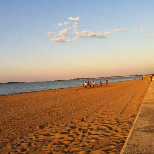
Wollaston Beach is a fun place to spend the afternoon. Facilities are available, as are fried clams and ice cream.
Explore how far you can travel by car, bus, bike and foot from Quincy Street.
Quincy Street has good transit which means many nearby public transportation options.
Rail lines:
Red Line
0.4 mi
Bus lines:
215 Quincy Center Station - Ashmont Station via West Quincy
0.1 mi
238 Holbrook/Randolph Station - Quincy Center Station
0.2 mi
230 Montello Station - Quincy Center Station
0.2 mi
236 South Shore Plaza - Quincy Center Station
0.2 mi
Quincy Street is in the South Quincy neighborhood. South Quincy is the 5th most walkable neighborhood in Quincy with a neighborhood Walk Score of 65.
If you are using a screen reader or having trouble reading this website, please call Walk Score customer service at (253) 256-1634.
© 2026 Walk Score
Aerin