
Yosemite Road
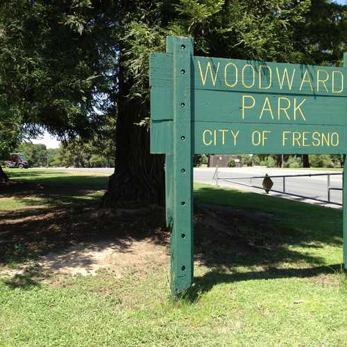
Woodward Park, Fresno, 93720
Commute to Downtown Fort Washington
Almost all errands require a car.
It is possible to get on a bus.
Some bike infrastructure.

Yosemite Road has a Walk Score of 13 out of 100. This location is a Car-Dependent neighborhood so almost all errands require a car.
This location is in the Woodward Park neighborhood in Fresno. Nearby parks include Woodward Park, Woodward Park and Keith Tice Memorial Park.

This iconic park is filled with something for everyone from bike riding to fishing to concerts and Moore...
Explore how far you can travel by car, bus, bike and foot from Yosemite Road.
Bus lines:
01 FAX Q
0.7 mi
58 NE Fresno
0.9 mi
38 Cedar
1.1 mi
26 Palm/Butler
1.1 mi
58E Childrens Hospital
1.2 mi
Yosemite Road is in the Woodward Park neighborhood. Woodward Park is the 10th most walkable neighborhood in Fresno with a neighborhood Walk Score of 41.
Moving to Fresno from another city? View our moving to Fresno guide.
If you are using a screen reader or having trouble reading this website, please call Walk Score customer service at (253) 256-1634.
© 2026 Walk Score
James Stephens