

Scott Way

Almost all errands require a car.

A few nearby public transportation options.

Minimal bike infrastructure.

Scott Way has a Walk Score of 17 out of 100. This location is a Car-Dependent neighborhood so almost all errands require a car.
Scott Way is a 22 minute walk from the Metrolink Antelope Valley Line at the Burbank Airport - North (AV Line) Metrolink Station stop.
This location is in Los Angeles. The closest park is Brace Canyon Park.

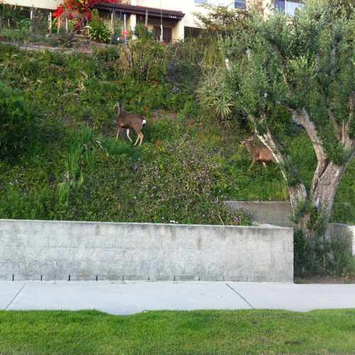
Deer frolicking on the hillside. A common occurrence in Autumn in #Burbank.
Explore how far you can travel by car, bus, bike and foot from Scott Way.
Scott Way has some transit which means a few nearby public transportation options.
Rail lines:
Metrolink Antelope Valley Line
0.6 mi
Metrolink Ventura County Line
1.4 mi
Bus lines:
92 Metro Local Line
0.2 mi
222 Metro Local Line
0.5 mi
294 Metro Local Line
0.6 mi
169 Metro Local Line
0.6 mi
This location is in the city of Los Angeles, CA. Los Angeles has an average Walk Score of 69 and has 3,792,621 residents.

Venice boardwalk
Venice Public Graffiti Art Walls
Scoops
If you are using a screen reader or having trouble reading this website, please call Walk Score customer service at (253) 256-1634.
© 2026 Walk Score
Norma and Kyle - BLU DOT Realty Group