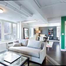
Daily errands do not require a car.
World-class public transportation.
Flat as a pancake, minimal bike lanes.
Score Details
This location has a Walk Score of 94 out of 100. This location is a Walker’s Paradise so daily errands do not require a car.
This location is a one minute walk from the E 8 Avenue Local, the M QNS BLVD-6th AVE/ Myrtle Local and the R Broadway Local at the 67 Av stop.
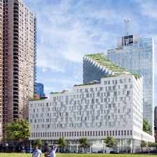
This location is in the Forest Hills Gardens neighborhood in New York. Nearby parks include Federoff Triangle, Russell Sage Playground and Plaza Sixtyseven.
Explore how far you can travel by car, bus, bike and foot from this location.
This location is a Rider’s Paradise which means world-class public transportation. Car sharing is available from RelayRides and Zipcar.
Rail lines:
M QNS BLVD-6th AVE/ Myrtle Local
0.0 mi
E 8 Avenue Local
0.0 mi
R Broadway Local
0.0 mi
F Queens Blvd Express/ 6 Av Local
0.5 mi
City Zone
0.6 mi
Babylon
0.6 mi
West Hempstead
0.6 mi
Port Jefferson
0.6 mi
Long Beach
0.6 mi
Far Rockaway
0.6 mi
Bus lines:
Q60 Queens Boulevard
0.1 mi
QM11 Forest Hills - Downtown
0.1 mi
QM18 South Ozone Park - Midtown Express
0.1 mi
QM12 Forest Hills - Midtown
0.2 mi
Q23 108 Street
0.3 mi
QM4 Electchester - Midtown
0.3 mi
Car shares:
This location is in the Forest Hills Gardens neighborhood. Forest Hills Gardens is the 82nd most walkable neighborhood in New York with a neighborhood Walk Score of 92.
Moving to New York from another city? View our moving to New York guide.


If you are using a screen reader or having trouble reading this website, please call Walk Score customer service at (253) 256-1634.
© 2024 Walk Score