
131 Steele St
Daily errands do not require a car.
A few nearby public transportation options.
Biking is convenient for most trips.

131 Steele St has a Walk Score of 92 out of 100. This location is a Walker’s Paradise so daily errands do not require a car.
This location is in Denver. Nearby parks include City of Karmiel Park, Pulaski Park and Burns Park.

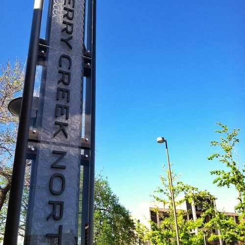
A sign for the Cherry Creek North district on the corner of 1st Ave & Steele St #CherryCreek
Explore how far you can travel by car, bus, bike and foot from 131 Steele St.
131 Steele St has some transit which means a few nearby public transportation options.
Bus lines:
46 South Dahlia
0.1 mi
83D Cherry Creek / Parker Rd Limited
0.1 mi
3L East Alameda Limited
0.1 mi
83L Cherry Creek / Parker Rd Limited
0.1 mi
3 Alameda Avenue
0.1 mi
24 University Blvd
0.5 mi
This location is in the city of Denver, CO. Denver has an average Walk Score of 61 and has 600,158 residents.

Cathedral Basilica of the Immaculate Conception
Marion Park Condominiums
Platte River Bike Path
If you are using a screen reader or having trouble reading this website, please call Walk Score customer service at (253) 256-1634.
© 2026 Walk Score
Emily Foos