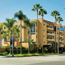
Redlands Street
Commute to Downtown El Segundo
Some errands can be accomplished on foot.
A few nearby public transportation options.
Flat as a pancake, minimal bike lanes.
About your score
Redlands Street has a Walk Score of 64 out of 100. This location is Somewhat Walkable so some errands can be accomplished on foot.
This location is in the Westchester-Playa Del Rey neighborhood in Los Angeles. Nearby parks include Gas Company Field, Titmouse Park and Del Rey Lagoon Park.
Explore how far you can travel by car, bus, bike and foot from Redlands Street.
Redlands Street has some transit which means a few nearby public transportation options. Car sharing is available from RelayRides and Zipcar.
Bus lines:
115 Metro Local Line
0.1 mi
3 Lincoln Blvd/LAX
0.7 mi
Car shares:
Redlands Street is in the Westchester-Playa Del Rey neighborhood. Westchester-Playa Del Rey is the 67th most walkable neighborhood in Los Angeles with a neighborhood Walk Score of 58.
Moving to Los Angeles from another city? View our moving to Los Angeles guide.

St Jerome School
Compari's Trattoria Pizzeria
El Pollo Loco


If you are using a screen reader or having trouble reading this website, please call Walk Score customer service at (253) 256-1634.
© 2024 Walk Score