


Laguna Hills has an average Walk Score of 41 with 30,344 residents.
Laguna Hills has some public transportation and does not have many bike lanes.
The most walkable Laguna Hills neighborhoods are Central Laguna Hills, North Laguna Hills and South Laguna Hills.
Most errands require a car.

Most errands require a car in Laguna Hills.
Rank # | Name | Walk Score | Transit Score | Bike Score |
|---|---|---|---|---|
| 1 | Central Laguna Hills | 50 | 30 | 51 |
| 2 | North Laguna Hills | 42 | 22 | 32 |
| 3 | South Laguna Hills | 23 | 24 | 23 |
There are about 181 restaurants, bars and coffee shops in Laguna Hills.
People in Laguna Hills can walk to an average of 0.6 restaurants, bars and coffee shops in 5 minutes.
A few nearby public transportation options. Find Laguna Hills apartments for rent on Redfin.
Laguna Hills has some public transportation and about 5 bus lines.
The map above shows how far you can travel in 30 minutes from Laguna Hills on public transit.
Minimal bike infrastructure.
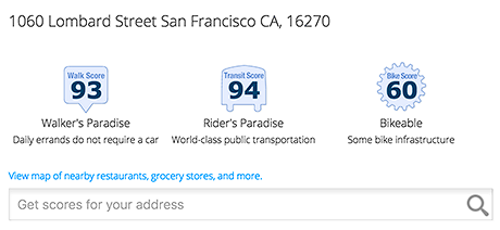
Add Walk Score, Bike Score, and Transit Score to your rental and for sale properties with the Walk Score Widget.

Build apps with Walk Score, public transit data, and commute and travel times via Walk Score APIs.

Use Walk Score data for real estate, public health, finance, and urban planning research and analysis.
If you are using a screen reader or having trouble reading this website, please call Walk Score customer service at (253) 256-1634.
© 2026 Walk Score


