


Search for apartments in West Palm Beach or check out apartments in other West Palm Beach neighborhoods. Links will open on our partner site Redfin.com.
- Bahama, West Palm Beach apartments for rent
- Ballenisles, West Palm Beach apartments for rent
- Breakers West, West Palm Beach apartments for rent
- Century Village, West Palm Beach apartments for rent
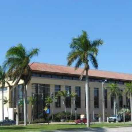
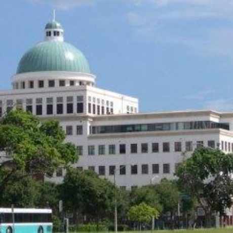
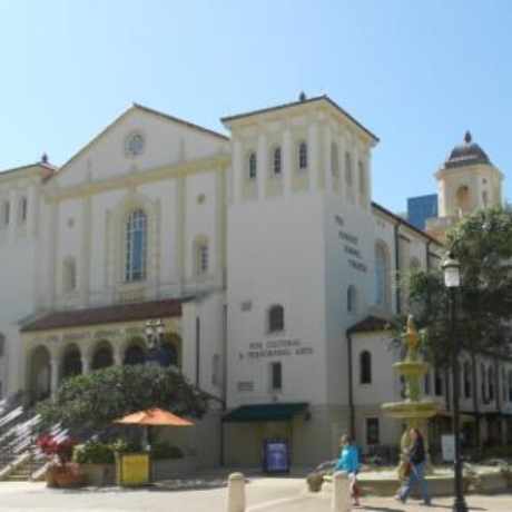
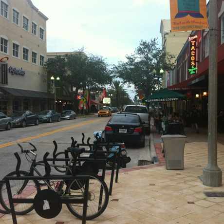
- Downtown West Palm Beach, West Palm Beach apartments for rent
- El Cid, West Palm Beach apartments for rent
- Flamingo Park, West Palm Beach apartments for rent
- Golden Lakes, West Palm Beach apartments for rent
- Grandview Heights, West Palm Beach apartments for rent
- Ibis, West Palm Beach apartments for rent
- Ibis Golf & Country Club, West Palm Beach apartments for rent
- Inlet Grove, West Palm Beach apartments for rent
- Inlet Shores, West Palm Beach apartments for rent
- Ironhorse, West Palm Beach apartments for rent
- Northwood Village, West Palm Beach apartments for rent
- Old Northwood Historic District, West Palm Beach apartments for rent
- Palm Beach Lakes South, West Palm Beach apartments for rent
- Pga National, West Palm Beach apartments for rent
- Rivertowne Country Club, West Palm Beach apartments for rent
- Steeplechase, West Palm Beach apartments for rent


West Palm Beach is Talking About...