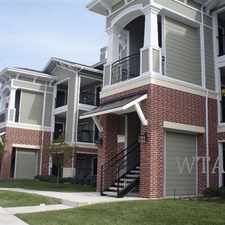
11710 Ripplewood
Almost all errands require a car.
It is possible to get on a bus.
Score Details
11710 Ripplewood has a Walk Score of 14 out of 100. This location is a Car-Dependent neighborhood so almost all errands require a car.
This location is in San Antonio. The closest park is Trophy Ridge.
Nearby schools include Bernard Harris Middle School, Steubing Ranch Elementary School and Luna Middle School.
The closest grocery store is H-E-B plus!.
The closest coffee shop is Starbucks. Nearby restaurants include Camino Real De Jallsco, Pei Wei and Lina's Mexican Restaurant.
11710 Ripplewood is near Culebra Creek, Oscar E. Perez Memorial Park and Lackland Terrace Park.
Explore how far you can travel by car, bus, bike and foot from 11710 Ripplewood.
Bus lines:
620 INGRAM/NWVISTAS
0.9 mi
64 US 90 Express
1.1 mi
Car shares:
View all San Antonio apartments on a map.

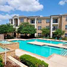
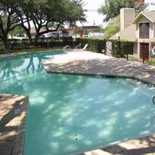
Popular apartment searches include pool, fireplace and fitness.
This location is in the city of San Antonio, TX. San Antonio has an average Walk Score of 34 and has 1,327,407 residents.
SAN PEDRO & LYNWOOD
Sea World of Texas
WOODLAWN & MPRR


If you are using a screen reader or having trouble reading this website, please call Walk Score customer service at (253) 256-1634.
© 2026 Walk Score