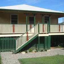
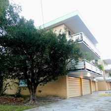
2216 Sandgate Road

Most errands require a car.

A few nearby public transportation options.

2216 Sandgate Road has a Walk Score of 31 out of 100. This location is a Car-Dependent neighborhood so most errands require a car.
2216 Sandgate Road is a 13 minute walk from the BNSH Beenleigh line - Shorncliffe line, the BRSH Brisbane City - Shorncliffe line and the CLSH Cleveland line - Shorncliffe line at the North Boondall station, platform 2 stop.
This location is in the Boondall neighborhood in Brisbane. Nearby parks include Mulbean Park, Joseph Lee Park and Watkinson Park.
Explore how far you can travel by car, bus, bike and foot from 2216 Sandgate Road.
2216 Sandgate Road has some transit which means a few nearby public transportation options.
Rail lines:
SHBR Shorncliffe line - Brisbane City
0.9 km
SHCL Shorncliffe line - Cleveland line
0.9 km
SHSP Shorncliffe line - Springfield line
0.9 km
BRSH Brisbane City - Shorncliffe line
0.9 km
BNSH Beenleigh line - Shorncliffe line
0.9 km
CLSH Cleveland line - Shorncliffe line
0.9 km
Bus lines:
310 Brighton - City Express
0.1 km
325 Boondall - City Express
0.1 km
N310 City - Sandgate (NightLink)
0.1 km
335 Sandgate - City Express via Kirby Road
0.1 km
326 Bracken Ridge - Toombul via Sandgate, Geebung
0.3 km
View all Boondall apartments on a map.

Popular apartment searches include fitness, pool and single family.
2216 Sandgate Road is in the Boondall neighborhood. Boondall is the 147th most walkable neighborhood in Brisbane with a neighborhood Walk Score of 51.




If you are using a screen reader or having trouble reading this website, please call Walk Score customer service at (253) 256-1634.
© 2026 Walk Score