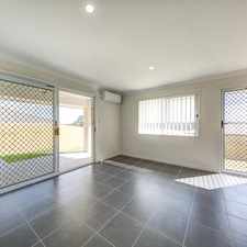
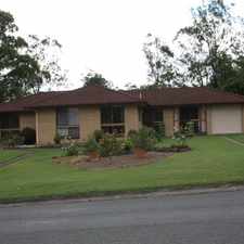
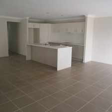
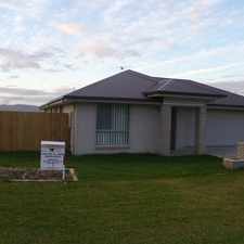
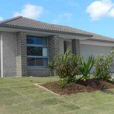
38 Darling Street
Sadliers Crossing, Brisbane, 4305
Commute to Downtown Brisbane

Most errands can be accomplished on foot.

A few nearby public transportation options.
About your score
38 Darling Street has a Walk Score of 73 out of 100. This location is Very Walkable so most errands can be accomplished on foot.
38 Darling Street is an eight minute walk from the RWBR Rosewood line - Brisbane City, the RWCA Rosewood line - Caboolture line and the RWIP Rosewood line - Ipswich line at the Thomas Street, platform 1 stop.
This location is in the Sadliers Crossing neighborhood in Brisbane. Nearby parks include Denmark Hill Conservation Park, Ipswich Pteropus Conservation Park and Leichhardt Park.
Explore how far you can travel by car, bus, bike and foot from 38 Darling Street.
38 Darling Street has some transit which means a few nearby public transportation options.
Rail lines:
RWBR Rosewood line - Brisbane City
0.5 km
RWIP Rosewood line - Ipswich line
0.5 km
RWCA Rosewood line - Caboolture line
0.5 km
BRRW Brisbane City - Rosewood line
0.5 km
IPRW Ipswich line - Rosewood line
0.5 km
CARW Caboolture line - Rosewood line
0.5 km
NAIP Nambour line - Ipswich line
1.1 km
IPCA Ipswich line - Caboolture line
1.1 km
CAIP Caboolture line - Ipswich line
1.1 km
IPBR Ipswich line - Brisbane City
1.1 km
Bus lines:
506 Riverlink Shopping Centre - Leichhardt & One Mile
0.2 km
512 Brassall - Riverlink Shopping Centre
0.5 km
502 Bundamba - Riverlink via Blackstone
0.8 km
500 Riverlink Shopping Centre - Goodna Station
0.8 km
515 Brassall - Yamanto & Willowbank
0.8 km
503 Bundamba - Riverlink via Eastern Heights
0.8 km
509 Yamanto - Riverlink Shopping Centre
1.0 km
514 Tivoli - Booval Fair
1.0 km
38 Darling Street is in the Sadliers Crossing neighborhood. Sadliers Crossing is the 108th most walkable neighborhood in Brisbane with a neighborhood Walk Score of 58.




If you are using a screen reader or having trouble reading this website, please call Walk Score customer service at (253) 256-1634.
© 2026 Walk Score