
717 American Legion Highway
Commute to Downtown Boston
Some errands can be accomplished on foot.
Many nearby public transportation options.
Some bike infrastructure.

717 American Legion Highway has a Walk Score of 59 out of 100. This location is Somewhat Walkable so some errands can be accomplished on foot.
717 American Legion Highway is a 26 minute walk from the Needham Line at the Roslindale Village stop.
This location is in the Lower Washington-Mount Hope neighborhood in Boston. Nearby parks include Adams Park, Elsie E. Davis Square and Savage Mini Park.

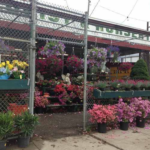
Beautiful affordable florist shop in hydepark on american legion highway, Has all types of flowers. Must stop by and check out. Easy to get to also has huge selection. I have purchased lots of flowers from here,
Explore how far you can travel by car, bus, bike and foot from 717 American Legion Highway.
717 American Legion Highway has good transit which means many nearby public transportation options.
Rail lines:
Needham Line
0.9 mi
Providence/Stoughton Line
1.2 mi
Orange Line
1.2 mi
Franklin/Foxboro Line
1.2 mi
Fairmount Line
1.2 mi
Bus lines:
14 Roslindale Square - Heath Street
0.1 mi
32 Wolcott or Cleary Square - Forest Hills Station
0.2 mi
33 River Street & Milton Street - Mattapan Station
0.2 mi
30 Mattapan Station - Forest Hills Station via Cummins Highway and Roslindale Square
0.3 mi
39 Forest Hills Station - Back Bay Station
0.4 mi
717 American Legion Highway is in the Lower Washington-Mount Hope neighborhood. Lower Washington-Mount Hope is the 46th most walkable neighborhood in Boston with a neighborhood Walk Score of 76.
Moving to Boston from another city? View our moving to Boston guide.
If you are using a screen reader or having trouble reading this website, please call Walk Score customer service at (253) 256-1634.
© 2026 Walk Score
Voula Paras