
7450 State Road
Most errands require a car.
Minimal bike infrastructure.

7450 State Road has a Walk Score of 40 out of 100. This location is a Car-Dependent neighborhood so most errands require a car.
This location is in Cincinnati. Nearby parks include RecPlex Of Beech Acres Park, Beech Acres Park and Alp Memorial Park.

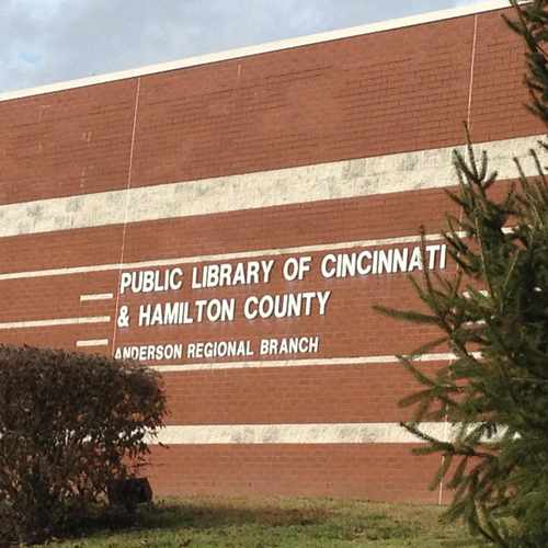
Public Library of Cincinnati & Hamilton County. Great selection of books, CD's and DVD's for all age groups.
Explore how far you can travel by car, bus, bike and foot from 7450 State Road.
Bus lines:
30 Beechmont Commuter
0.2 mi
24 MLK / Beechmont
0.2 mi
75X Anderson Express
0.4 mi
81 Mt. Washington Commuter
0.4 mi
This location is in the city of Cincinnati, OH. Cincinnati has an average Walk Score of 49 and has 296,943 residents.

Matthew O'Brien Diggs II Plaza
Park + Vine
Coffee Emporium
If you are using a screen reader or having trouble reading this website, please call Walk Score customer service at (253) 256-1634.
© 2026 Walk Score
Amandeep Sian