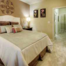
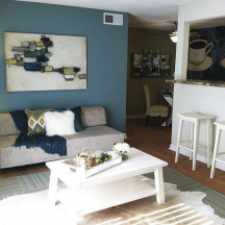
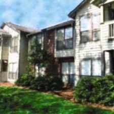
9 Barwinds Circle
Most errands require a car.
A few nearby public transportation options.
Mostly flat, minimal bike lanes.
Score Details
9 Barwinds Circle has a Walk Score of 29 out of 100. This location is a Car-Dependent neighborhood so most errands require a car.
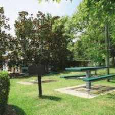
This location is in Durham. Nearby parks include Garrett Road Park and Piney Wood Park.
Nearby schools include C E Jordan High School and Southwest Elementary School.
The closest grocery stores are Kroger, Harris Teeter and Harris Teeter.
Nearby coffee shops include Copa Vida Coffee, Bean Traders Inc and Kangaroo Express. Nearby restaurants include Ai Fuji Japanese Steakhouse, Primal Food & Spirits and Ai Fuji Japanese Steakhouse.
9 Barwinds Circle is near Garrett Road Park, Piney Wood Park and Jordan Game Land.
There are minimal bike lanes and the terrain is mostly flat. 9 Barwinds Circle is somewhat bikeable, there is minimal bike infrastructure.
Explore how far you can travel by car, bus, bike and foot from 9 Barwinds Circle.
9 Barwinds Circle has some transit which means a few nearby public transportation options.
Bus lines:
10 DATA - Woodcroft & New Hope Commons
0.4 mi
7 DATA - Fayetteville Rd & Southpoint Mall
0.5 mi
View all Durham apartments on a map.

Popular apartment searches include hardwood floor, pool and fitness.
This location is in the city of Durham, NC. Durham has an average Walk Score of 28 and has 228,330 residents.
The Pizzeria
Durham Bulls Athletic Park
CrossFit Durham


If you are using a screen reader or having trouble reading this website, please call Walk Score customer service at (253) 256-1634.
© 2025 Walk Score