
Coyote Creek Trail
Some errands can be accomplished on foot.
A few nearby public transportation options.
Biking is convenient for most trips.

Coyote Creek Trail has a Walk Score of 57 out of 100. This location is Somewhat Walkable so some errands can be accomplished on foot.
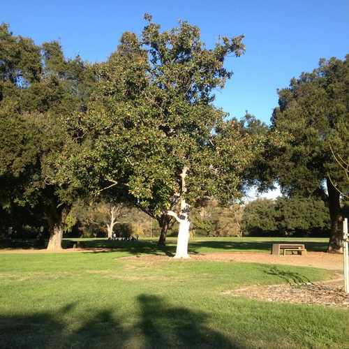
This location is in San Jose. Nearby parks include Selma Olinder Park, Forestdale Tot Log and Tennis Courts.

This is the Selma olinder park where thy have dog get togetherness in the summer time.
Explore how far you can travel by car, bus, bike and foot from Coyote Creek Trail.
Coyote Creek Trail has some transit which means a few nearby public transportation options.
Rail lines:
Green Line Old Ironsides - Winchester
1.1 mi
Event-Green Event-Green Line
1.1 mi
Blue Line Baypointe - Santa Teresa
1.1 mi
Event-Blue Event-Blue Line
1.1 mi
Bus lines:
73 Dtwn SJ - Senter & Monterey via Senter
0.3 mi
72 Dtwn SJ - Senter & Monterey via McLaughlin
0.5 mi
25 De Anza Coll - Alum Rock via Valley Med
0.5 mi
This location is in the city of San Jose, CA. San Jose has an average Walk Score of 51 and has 945,942 residents.

The Century Theatre Nook
Relax Under The Trees
Flames Coffee Shop & Bakery
If you are using a screen reader or having trouble reading this website, please call Walk Score customer service at (253) 256-1634.
© 2026 Walk Score
Duy Vo