
Route 80
Most errands require a car.
A few nearby public transportation options.
Some bike infrastructure.
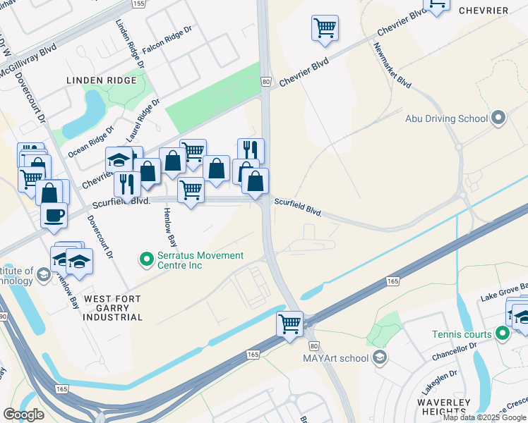
Route 80 has a Walk Score of 49 out of 100. This location is a Car-Dependent neighborhood so most errands require a car.
This location is in Winnipeg.
Explore how far you can travel by car, bus, bike and foot from Route 80.
Route 80 has some transit which means a few nearby public transportation options.
Bus lines:
691 Whyte Ridge
0.1 km
649 Chevrier
0.1 km
690 Industrial
0.1 km
679 Waverley
0.1 km
642 Lindenwoods East
0.7 km
This location is in the city of Winnipeg, MB. Winnipeg has an average Walk Score of 48 and has 663,617 residents.

Woodbine Hotel Bar & Vendor
Bar Italia
Correinthes
If you are using a screen reader or having trouble reading this website, please call Walk Score customer service at (253) 256-1634.
© 2026 Walk Score