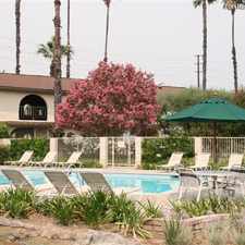
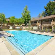
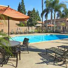
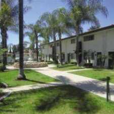
Shadow Lane
Most errands require a car.
A few nearby public transportation options.
Score Details
Shadow Lane has a Walk Score of 34 out of 100. This location is a Car-Dependent neighborhood so most errands require a car.
This location is in Fullerton. Nearby parks include Lyons Field, Hillcrest Park and Brea Reservoir Park.
Nearby schools include Fullerton College, Fullerton Union High School and Raymond Elementary School.
The closest grocery stores are L Foods, Ralphs and Sweet'n Fresh Fruits & Vgtbls.
Nearby coffee shops include McClain's Coffeehouse, Peet's and Peet's Coffee & Tea. Nearby restaurants include Orange Mist, Farmer Boys and Sizzler.
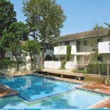
Shadow Lane is near Hillcrest Park, Brea Dam Park and Fullerton Sports Complex.
Explore how far you can travel by car, bus, bike and foot from Shadow Lane.
Shadow Lane has some transit which means a few nearby public transportation options. Car sharing is available from RelayRides.
Rail lines:
Orange County Line
1.2 mi
91 Line
1.2 mi
Bus lines:
213 Brea - Irvine Express
0.2 mi
143 La Habra - Brea Mall
0.2 mi
43 Fullerton - Costa Mesa
0.6 mi
24 Fullerton - Orange
0.8 mi
Car shares:
View all Fullerton apartments on a map.

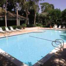
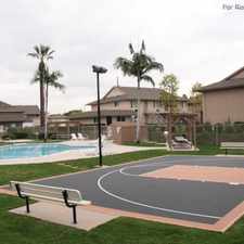
Popular apartment searches include fireplace, pool and hardwood floor.
This location is in the city of Fullerton, CA. Fullerton has an average Walk Score of 51 and has 135,161 residents.
Summit House Restaurant by Jackie
Hopscotch Tavern
The Continental Room


If you are using a screen reader or having trouble reading this website, please call Walk Score customer service at (253) 256-1634.
© 2025 Walk Score