


Clayton Heights-Lomas del Cielo is the 97th most walkable neighborhood in Albuquerque with 2,289 residents.
Clayton Heights-Lomas del Cielo has some public transportation and is somewhat bikeable.
Nearby neighborhoods: Silver Hill, Kirtland Community, South Broadway, Victory Hills, Sycamore, University Heights and Huning Highland Historic District.
Most errands require a car.

Most errands require a car in Clayton Heights-Lomas del Cielo Albuquerque.
Clayton Heights-Lomas del Cielo is the 97th most walkable neighborhood in Albuquerque with a Walk Score of 40.
Find apartments in Albuquerque's most walkable neighborhoods: Nob Hill, Huning Highland Historic District and University Heights.
Compare Clayton Heights-Lomas del Cielo to other Albuquerque neighborhoods.
Rank # | Name | Walk Score | Transit Score | Bike Score |
|---|---|---|---|---|
| 95 | Rancho Sereno | 41 | 31 | 64 |
| 96 | Los Duranes | 41 | 20 | 71 |
| 97 | Clayton Heights-Lomas del Cielo | 40 | 29 | 67 |
| 98 | Los Volcanes | 40 | 28 | 59 |
| 99 | North Domingo Baca | 40 | 27 | 70 |
There are about 18 restaurants, bars and coffee shops in Clayton Heights-Lomas del Cielo.
People in Clayton Heights-Lomas del Cielo can walk to an average of 1 restaurants, bars and coffee shops in 5 minutes.
Some bike infrastructure.
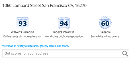
Add Walk Score, Bike Score, and Transit Score to your rental and for sale properties with the Walk Score Widget.

Build apps with Walk Score, public transit data, and commute and travel times via Walk Score APIs.

Use Walk Score data for real estate, public health, finance, and urban planning research and analysis.
If you are using a screen reader or having trouble reading this website, please call Walk Score customer service at (253) 256-1634.
© 2026 Walk Score


