Thinking of renting an apartment or buying in Houston? Ask our neighborhood guides a question.

Commercial and Real Estate Virtual Tours. See examples and prices at edenvirtual.com
Minimal bike infrastructure.

Treebeards on Market Square

Texadelphia

Sam Houston Statue

Westchester Swim and Tennis Club
 The neighborhood facilities located at Pinesap and Chadbourne include two, lighted tennis courts; a large, newly renovated swimming pool with diving area; bathroom/showers/dressing rooms, and a covered pavilion available for use by residents who pay their annual usage fees
Lisa Arthur
on Westchester Swim and Tennis Club

Canino Produce Co.

Ashford Elementary SPARK Park

Urban Harvest Farmers Market

Bodegas Taco Shop
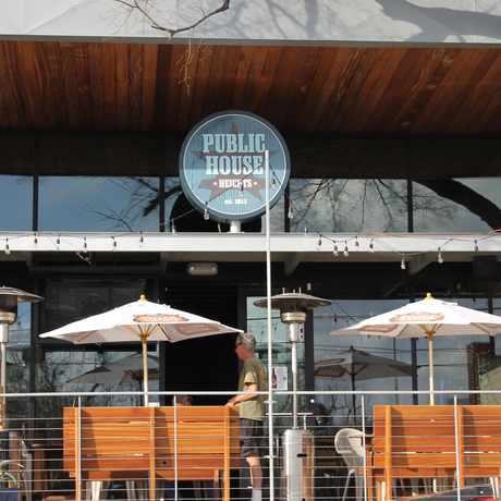
 Kind of an indoor/outdoor bar. Great crawfish, relatively cheap drinks, a pool table, attentive staff. Trivia on Tuesdays and a great place to catch any game. Huge patio.
Rob Cornelius
on Big Woodrow's Bar & Grill

Levy Park

Big Woodrow's Bar & Grill

TMC Transit Center
 La Vista might be the best kept secret in the area for traditional dining. It does t look like much on the outside but everything on the menu is four star gourmet, believe it it not. Also, you can bring your own wine; I recommend the mussels.
Rob Cornelius
on La Vista

Add Walk Score, Bike Score, and Transit Score to your rental and for sale properties with the Walk Score Widget.

Build apps with Walk Score, public transit data, and commute and travel times via Walk Score APIs.

Use Walk Score data for real estate, public health, finance, and urban planning research and analysis.
If you are using a screen reader or having trouble reading this website, please call Walk Score customer service at (253) 256-1634.
© 2026 Walk Score


Rob Cornelius
on Texadelphia