


Search for apartments in Minneapolis or check out apartments in other Minneapolis neighborhoods. Links will open on our partner site Redfin.com.
- Bryn-Mawr, Minneapolis apartments for rent
- Como Park, Minneapolis apartments for rent
- Downtown East Minneapolis, Minneapolis apartments for rent
- Fulton, Minneapolis apartments for rent
- Kenwood, Minneapolis apartments for rent
- King Field, Minneapolis apartments for rent
- Lake of the Isles, Minneapolis apartments for rent
- Linden Hills, Minneapolis apartments for rent
- Longfellow, Minneapolis apartments for rent
- Lynnhurst, Minneapolis apartments for rent
- Macalester-Groveland, Minneapolis apartments for rent
- Nokomis, Minneapolis apartments for rent
- North Loop, Minneapolis apartments for rent
- Northeast Minneapolis, Minneapolis apartments for rent
- Powderhorn, Minneapolis apartments for rent
- Robbinsdale-Crystal-New Hope, Minneapolis apartments for rent
- Southwest Minneapolis, Minneapolis apartments for rent
- Tangletown, Minneapolis apartments for rent
- Uptown, Minneapolis apartments for rent
- Whittier, Minneapolis apartments for rent


 Check out this gigantic park, covering 68 acres of land and 12 acres of water. Bring your family here for a fun day picnicking, hiking, or playing on any of their recreation courts. #park #tenniscourt Photo: Mulad


 #phillipswest The American Swedish Institute is located at the site of this mansion. The mansion features amazing architecture and each of the rooms are have stunning details. Be sure to visit the Fika restaurant and the museum gift shop when you visit.
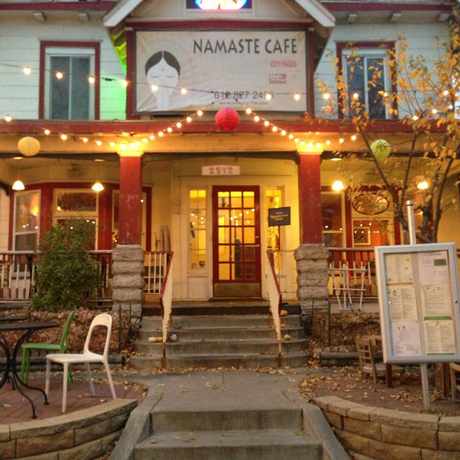


 Grand Cafe on grand is a delightful eatery with great prices and good food!


Walk Score Team
on Mill City Farmers Market