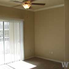
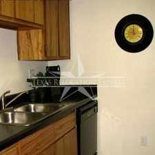
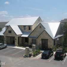
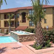
11351 Enchanted Sunset Street
Almost all errands require a car.
It is possible to get on a bus.
Flat as a pancake, minimal bike lanes.
Score Details
11351 Enchanted Sunset Street has a Walk Score of 12 out of 100. This location is a Car-Dependent neighborhood so almost all errands require a car.
This location is in San Antonio.
Nearby schools include Briscoe Middle School and Brennan High School.
The closest grocery stores are Edible Arrangements and H-E-B.
Nearby coffee shops include Starbucks, Starbucks and Dunkin' Donuts. Nearby restaurants include Buffalo Wild Wings, Freddy's Frozen Custard & Steakburgers and Logan's Roadhouse.
11351 Enchanted Sunset Street is near Culebra Creek, Oscar E. Perez Memorial Park and New Territories Recreational Complex.
There are minimal bike lanes and the terrain is flat as a pancake. 11351 Enchanted Sunset Street is somewhat bikeable, there is minimal bike infrastructure.
Explore how far you can travel by car, bus, bike and foot from 11351 Enchanted Sunset Street.
Bus lines:
620 INGRAM/NWVISTAS
0.7 mi
64 US 90 Express
0.7 mi
660 NWVISTAS/UNIVESITY P&R
0.7 mi
606 MEDICAL CENTER/ALAMO RANCH
1.3 mi
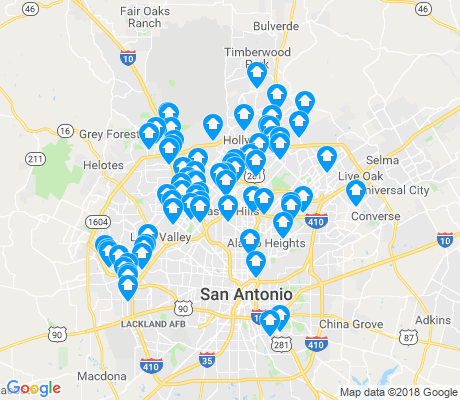
View all San Antonio apartments on a map.

Popular apartment searches include pool, fireplace and fitness.
This location is in the city of San Antonio, TX. San Antonio has an average Walk Score of 34 and has 1,327,407 residents.
BLANCO & W. MAGNOLIA
Light House
Hot Spot BBQ


If you are using a screen reader or having trouble reading this website, please call Walk Score customer service at (253) 256-1634.
© 2025 Walk Score